History
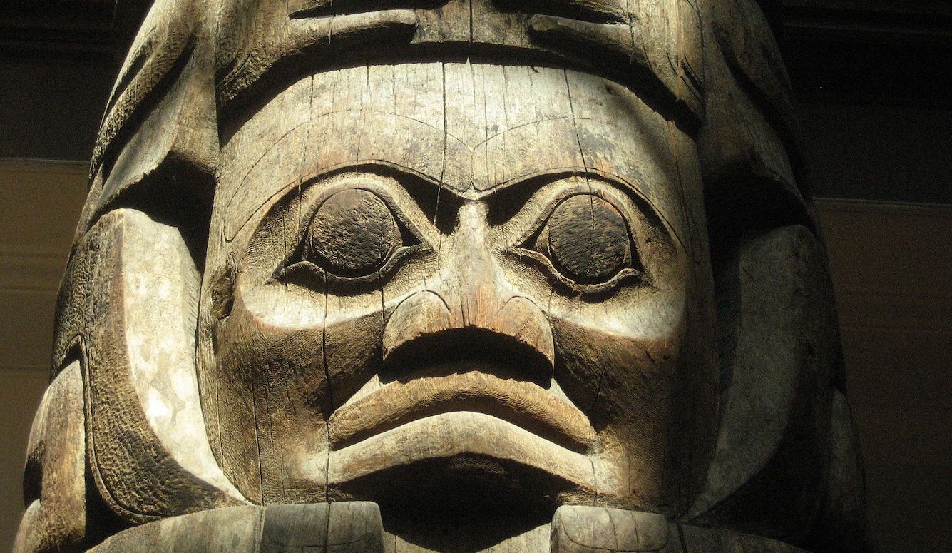
Canada’s First Inhabitants
In a new Quillette series, historian and podcaster Greg Koabel traces the global origins of the land we now call Canada.
What follows is the first instalment of The Nations of Canada, a serialized project adapted from transcripts of Greg Koabel’s ongoing podcast of the same name, which began airing in 2020.
I struggled for a little while to come up with a place to start Canada’s story. If I waited until the idea of Canada as a place and a people emerged, we’d be missing out on most of the story, and thousands of years of history. But reach too far back and it becomes difficult to talk about Canada with any coherence. For a long time, the peoples of Canada were divided into several loosely connected groups, many with zero knowledge of or contact with one another. Arranging that into one, unified narrative, would be ahistorical, and trying to tell every Canadian story would risk incoherence.
But, in the end, I decided the best place to start was the beginning, and we’ll just have to strike a compromise between the forward trajectory of the narrative, and a few individual stories to focus on along the way.
Keep reading
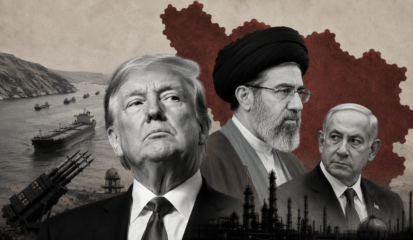
Claire's Weekly Letter: Hormuz and Homer
The Grift at the Gate

Ireland's Antisemitism Crisis with Rachel Moiselle | Quillette Cetera Episode 68

On the Brink Again
They See Dead People
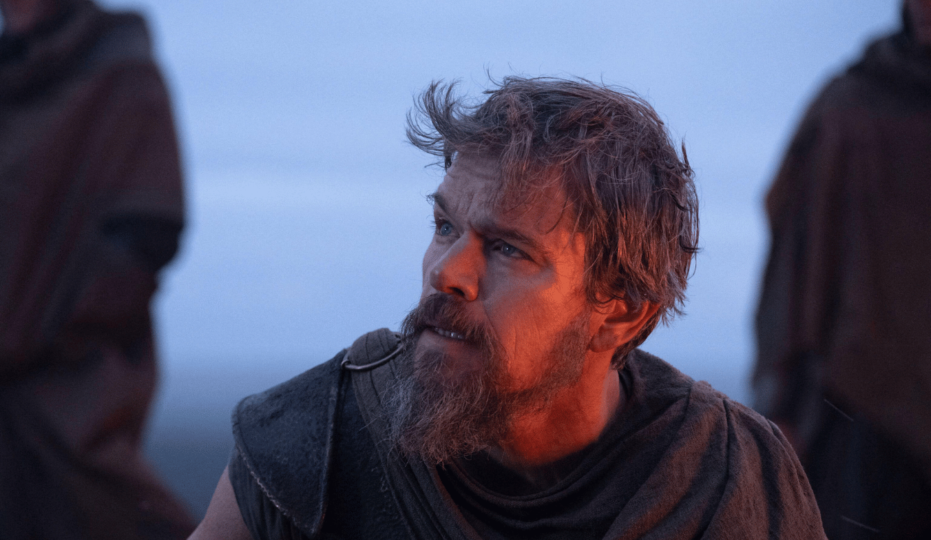
The Oldest Tradition in Art